
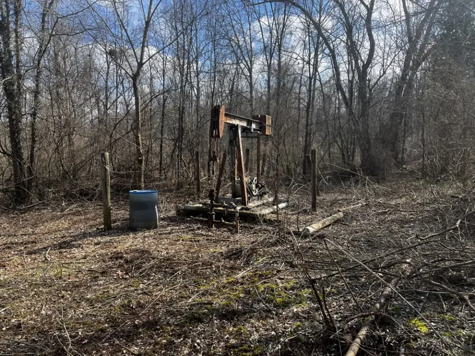
An orphaned well is one with no operator left to plug it. Many were drilled before modern regulation, and some are not in any record at all. People who work on them keep asking a couple of questions: how do you find a well nobody has mapped, and how do you know whether it is leaking methane, and how much? A lot of good people work on both questions, at very different scales, from satellites to a hood held over a wellhead. This is a guide to that range of tools, and to where ground measurement like ours fits.
Methane traps about 80 times more heat than CO2 over its first 20 years, so a small, steady leak matters more than its size suggests.
The scale of the problem
The Interstate Oil and Gas Compact Commission counts more than 141,000 documented orphaned wells on state and private land in the United States, and estimates another 250,000 to 740,000 undocumented ones, according to the Interior Department's November 2025 report to Congress. A 2022 study by Boutot and colleagues found that Ohio, Pennsylvania, Oklahoma and Kentucky held 56% of the documented count at the time.
The 2021 infrastructure law set aside $4.677 billion for orphaned wells, run by Interior's Orphaned Wells Program Office. By the end of September 2025 the office had distributed about $1.85 billion, and its November 2025 report counts 10,257 wells plugged by state grant recipients. The National Academies' June 2026 report puts it as more than 10,000 wells addressed as of 2025, and notes that a substantial number remain.
Why the methane is hard to see
Most orphaned wells leak little or nothing, and a few leak a great deal. The clearest summary is in Interior's 2023 methane measurement guidelines, drawing on a 2021 study by Williams, Regehr and Kang: across 568 abandoned wells in six US states and two Canadian provinces, rates ran from about 0.002 to 48 grams an hour, averaging 6 grams an hour, and the top 10% of wells emitted 91% of the methane.
Our own field data show the same shape. Of the 1,042 Oklahoma orphaned wells we tested between May 2025 and early October 2026, 17 hold 80% of the methane we measured. Even if each of the leaks too small for our samplers to rate leaked 5 litres a minute, it would be 27 wells, under 3% of those tested. We wrote that result up in more detail here.
The wells we measure are not a typical sample. We look for leaking wells, so our rates sit well above the literature's averages: the median of the 52 leaks we quantified in that cohort is about 1.1 kilograms of methane an hour, and the largest leak we have ever measured, 150 litres per minute, is about 6 kilograms an hour. Each rate is the highest reading we logged at that well. Even so, both are small by the standards of remote sensing, much of which was developed to find large sources on active oil and gas sites.
Finding wells nobody knows about
A well's steel casing disturbs the Earth's magnetic field, which makes magnetometers one of the most effective ways to find a well that is not on a map. The Department of Energy's National Energy Technology Laboratory flies magnetometers on drones to pick up buried casings, wellheads and pumps, and uses LiDAR to spot the flat pads and depressions old drilling left behind. The infrastructure law also funded a $30 million research consortium of national labs, the IOGCC and Interior to improve how wells are located and their emissions measured.
The Yale Carbon Containment Lab's 2022 measurement memo found drone magnetometers more effective at locating abandoned wells than either aerial methane surveys or walking surveys. A magnetometer finds steel, however; it says nothing about whether the well leaks. State records, old maps and landowners fill in the rest, and on the ground a surveyor still has to walk up to the well.
Measuring methane at each scale
Each tool has a detection floor, below which it cannot reliably see a source, and the floors span more than seven powers of ten. The figures below are approximate and depend on wind, surface, altitude and how a test was run.

Satellites. The TROPOMI instrument on Sentinel-5P maps methane over the whole planet every day in pixels about 5.5 by 7 kilometers. A 2022 review by Jacob and colleagues puts its floor for single sources at more than 25,000 kilograms an hour; its strength is regional totals and the rare ultra-emitter. Point-source imagers, such as GHGSat's constellation and the Sentinel-2 and Landsat instruments, resolve individual facilities, with floors from about 100 to 10,000 kilograms an hour depending on the instrument. Tanager-1, a satellite built by Planet for the Carbon Mapper coalition, is predicted to detect sources of about 66 to 144 kilograms an hour under typical conditions (Duren et al., 2025 preprint), and Carbon Mapper publishes its plumes, with rates, in a public portal. EDF's MethaneSAT was designed to measure emissions across whole basins; contact was lost on 20 June 2025, and EDF has continued to publish from the data it collected. The UN Environment Programme's Methane Alert and Response System turns satellite detections of very large energy-sector sources into notices to the governments and companies that can act on them.
Aircraft and drones. In a single-blind test of five aircraft platforms led by Stanford, El Abbadi and colleagues found the aircraft quantified releases above 10 kilograms an hour consistently, and two of them detected releases below 5. The Carbon Containment Lab memo puts aircraft LiDAR at about 0.5 to 3 kilograms an hour and drone-mounted sensors down to about 0.1, closer to the range of a leaking well, though at a few hundred acres a day for drones.
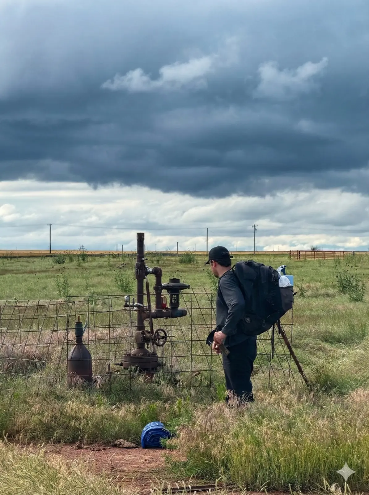
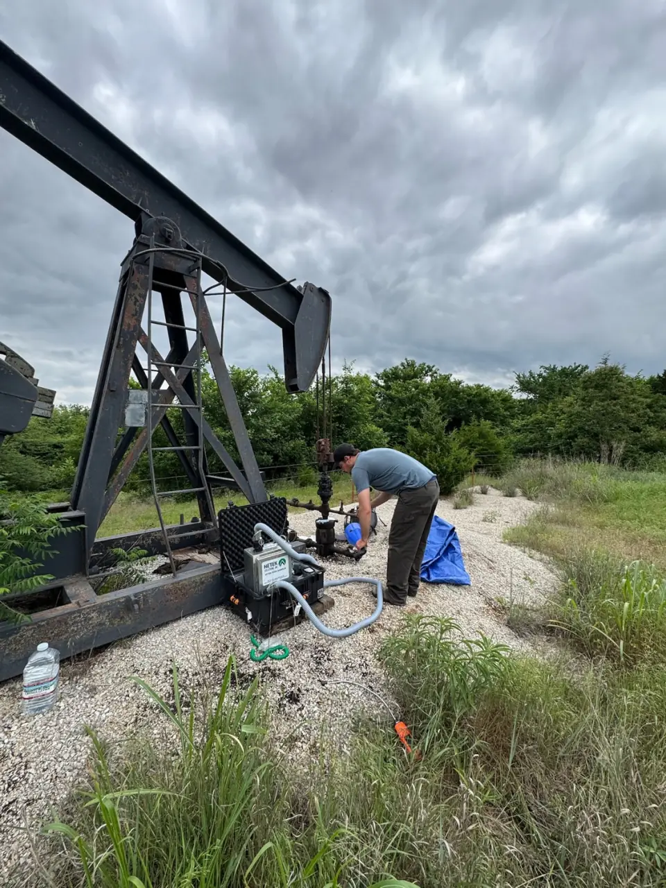
At the wellhead. Here the instruments are handheld detectors, chambers sealed over the well, high-flow samplers that draw the leak and the air around it through a hood, and newer methods such as the forced advection sampling technique developed at Lawrence Berkeley National Laboratory for leaks below about 40 grams an hour. Interior's guidelines recommend a detection limit of 1 gram an hour; they note that ground techniques can detect rates at that level or lower, which suits orphaned wells, while aerial tools typically work in the range of 100 to 1,000 kilograms an hour unless flown close to a source. The cost is time: someone has to reach each well.
What our ground data showed when we tested two satellite products
In September 2026 we tested whether public satellite data could help us decide which orphaned wells to visit. We used 1,034 Oklahoma orphaned wells our crews had surveyed, 79 of them leaking, and two products: Carbon Mapper's public plume catalog, which combines satellite and aircraft observations, and the TROPOMI methane column for 2024.
In late September 2026 the catalog held 184 oil and gas plumes over Oklahoma. The typical one, from the 10th percentile to the median, ran from about 205 to 666 kilograms an hour, roughly 30 to 110 times our largest leak and hundreds of times our median. None of the 184 sat closer to a known leak than to an active producing well; the median distance to an active producer was about 0.19 miles. Used as a ranking signal, distance to a plume scored an area under the curve of 0.47, where 0.5 is chance. The TROPOMI column scored 0.45. Neither separated leaking wells from dry ones.
This tests one public catalog and one instrument against small leaks, in one state. It is not a verdict on satellites in general: the plumes are real and the instruments are doing what they were built to do, at a different scale. We could not score MethaneSAT, because its public-preview data needs an access request we had not made, and we did not pull the UN system's alerts or GHGSat's commercial data.
How the pieces fit
Put together, the tools divide the work. Records, maps, magnetometers and LiDAR find the wells. Satellites and aircraft find the large sources and estimate regional totals, which matters for inventories and for the active equipment that dominates oil and gas emissions. Drones, vehicles and handheld detectors screen wells closer in. At the wellhead, a measurement confirms whether a given well is leaking and how much, at the scale that crediting, inventories and plugging priorities need. The Carbon Containment Lab, the Berkeley Lab authors and Interior's guidelines each say much the same in their own words.

Our part is the wellhead. We measure as found: nothing on the well is opened, turned or pressurized, and a leak we take forward is measured again, on more than one day, for the record. The method is on how we work.
Researchers building remote methods need ground points to check them against, and inventory work needs measured rates from wells that are actually leaking. If either would help your work, we would be glad to talk about sharing de-identified, aggregate wellhead measurements as validation data.