
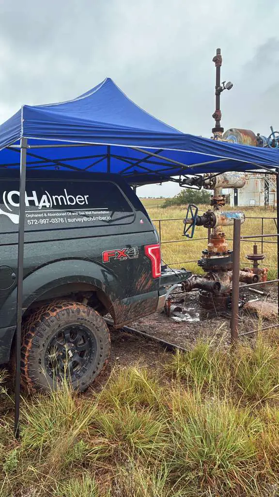
In August 2026 our survey crew spent four field days working a list of orphaned wells in Oklahoma, and only 28 of 127 labelled visits ended in a measurement. The crew's account of the rest was mostly physical: lease roads that had washed out, ground too rough to drive, wells that were not where the map put them. That matched what we had assumed since our first trips, so we set out to build a terrain score that would flag the hard stops before the truck left.
It did not work, and the reason it did not work changed how we plan a trip.
An orphaned well has no operator to call. It sits on somebody's pasture or wheat ground, usually behind a fence, and the person who can let us onto it is the surface owner. That owner may live on the place, in the nearest town or several states away.
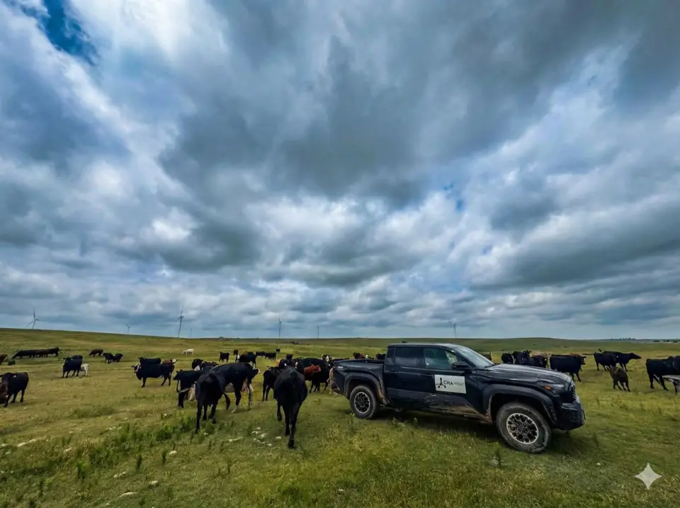
Every visit ends with a recorded outcome
Our field app asks the surveyor to close each stop with one outcome from a fixed list: measured, owner absent, owner refused, gate locked, no road, site not found, or other. The list exists so that a failed visit is a fact we can count rather than an impression from a long day. By the middle of August 127 visits carried one. That is an early sample, from four field days in one part of the state.
The first terrain measure reached the field before it was checked
Before we tested terrain properly, we used a homemade measure of "local relief": for each stop, the spread of elevations recorded for other wells within about three miles, with thresholds we had made up for "rugged" and "flat". It produced a tidy gradient along the route and a plain recommendation that the rough ground ended at a particular stop and the crew should push on past it. That recommendation went to the surveyor, and three stops were skipped on the strength of it.
It was wrong in three separate ways. Wells are drilled where a rig could be driven, so the elevations of nearby wells describe ground that was already reachable, not the ravine or washed-out crossing between them. Three miles is the wrong scale, since access is decided in the last few hundred feet. And more than 100 labelled outcomes were already in our database when the recommendation went out, and nobody checked it against them. When we did, against 30-metre elevation data from the USGS, the measure overstated local relief by about 12 times. A stop it called the worst on the route had about 8 feet of relief. Of the three stops it called easy, two failed; the one it called rough was measured without trouble.
Our rule since then is that a proxy gets no threshold and no recommendation until it has been tested against outcomes, and where the outcomes already exist, the test comes first.
The proper test found nothing
We then redid the work with published measures rather than our own. For each of the 127 wells we sampled USGS elevation on a small grid around the wellhead and computed slope and the Riley terrain ruggedness index, a standard measure published in 1999. We also took the land cover class at the wellhead from the 2021 National Land Cover Database. Then we compared the visits that failed on physical grounds (no road, or site not found) with the visits that reached the well, using permutation tests that shuffle the labels thousands of times to see how often chance alone produces a gap as large as the one observed.

None of them separated the two groups. Slope averaged 3.9% at the failed stops and 3.6% at the reached ones; forest and wetland sites failed slightly less often than open ground, 24% against 27%. The plainer explanation is that there is not much terrain to measure: across the area surveyed the average slope was 3.6%, which is gently rolling ground. What actually stops a truck there is a lease road nobody has graded, a gate, mud, brush that has grown back, a culvert that was never replaced. None of that shows up in an elevation model. The crew's experience of hard ground is real; it is simply not a function of topography.
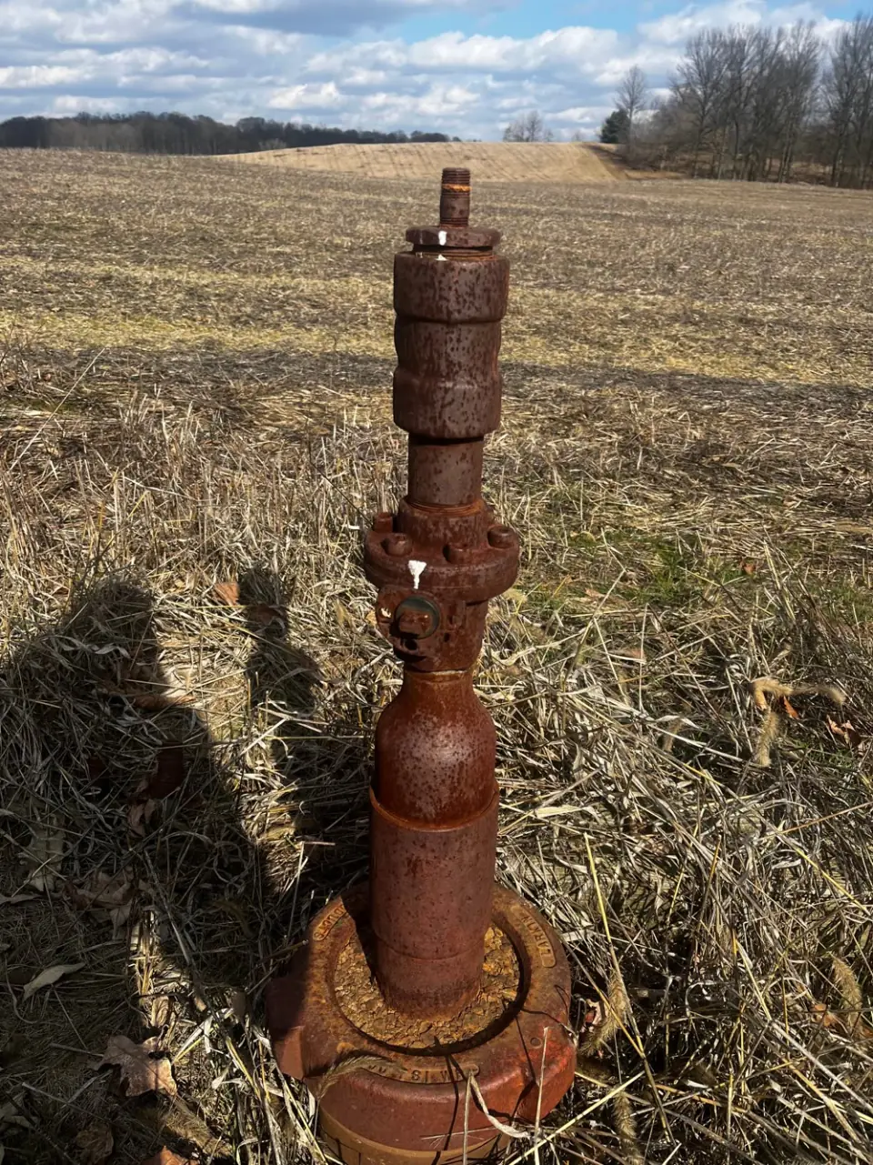
One test did show something. Steeper ground was associated with visits that ended at a locked gate or an absent owner, rather than with physical failure. That is one result among roughly six tests with no correction for running several, so we treat it as a lead and not a finding. Our best guess is that steeper country tends to be gated ranch land with owners who live elsewhere, which points the same way as everything else here. A further test, distance from each well to the nearest mapped road, could not be finished because the public mapping service timed out on about half the wells. It is untested rather than rejected.
Half the visits ended at a person
The outcome labels told a clearer story than any of the terrain layers.

Sixty-three of the 127 visits, half of them, ended because of a person: nobody was home, the owner said no, or a gate was locked with nobody there to open it. Thirty-four, about a quarter, ended on the ground or the map, and even some of those are probably data rather than ground: wells marked "site not found" sat closer to a road than any other group, which looks more like a wrong coordinate than an impassable track.
Then we looked at what we knew about the owners before each visit. Forty-three visits ended with the owner absent. For 26 of them we had some record of who owned the land; for none of them did we have a working phone number. When the next queue of 146 wells went out, none had a linked owner or a phone number attached. No terrain score could have fixed that; work at a desk could have started to.
Who stands at the door makes a large difference
A second comparison, later in the same month, made the point from the other side. Two crews worked Oklahoma in consecutive weeks. Their rates of being stopped by a road or a locked gate were statistically indistinguishable. Their rates of being stopped by an absent or unwilling owner were 41% and 14%, and the second crew measured 28 wells per field day against 7.4 for the first.
We read that as the size of the gap the conversation at the door can make, and it is not a ranking of people. The crews also worked different parts of the state, where ownership may genuinely differ, and no county was visited by both, so the comparison is strongly suggestive rather than proven. It did retire one thing we had been doing: treating a county's no-access rate as a property of the land and steering trips away from it.
The unit of work became a door
Planning the next trip with that in mind changed what a stop is. On a 569-stop trip plan, 55 owners held 45% of the stops, and one owner held eleven. A conversation with one of those owners decides several wells at once, so the trip is now built around owners as well as wells, and the owner research happens before the truck leaves.
That research is done from public parcel records, looked up well by well. For that 569-stop plan it resolved 550 stops to a named surface owner with a mailing address, in about four minutes. That is an owner identified, which is not the same as an owner reached. Parcel records rarely carry a phone number, and a name and an address are where a conversation can start, not evidence that anyone has agreed to anything. Whether it raises the share of stops that end in a measurement is what the trips since then are testing.
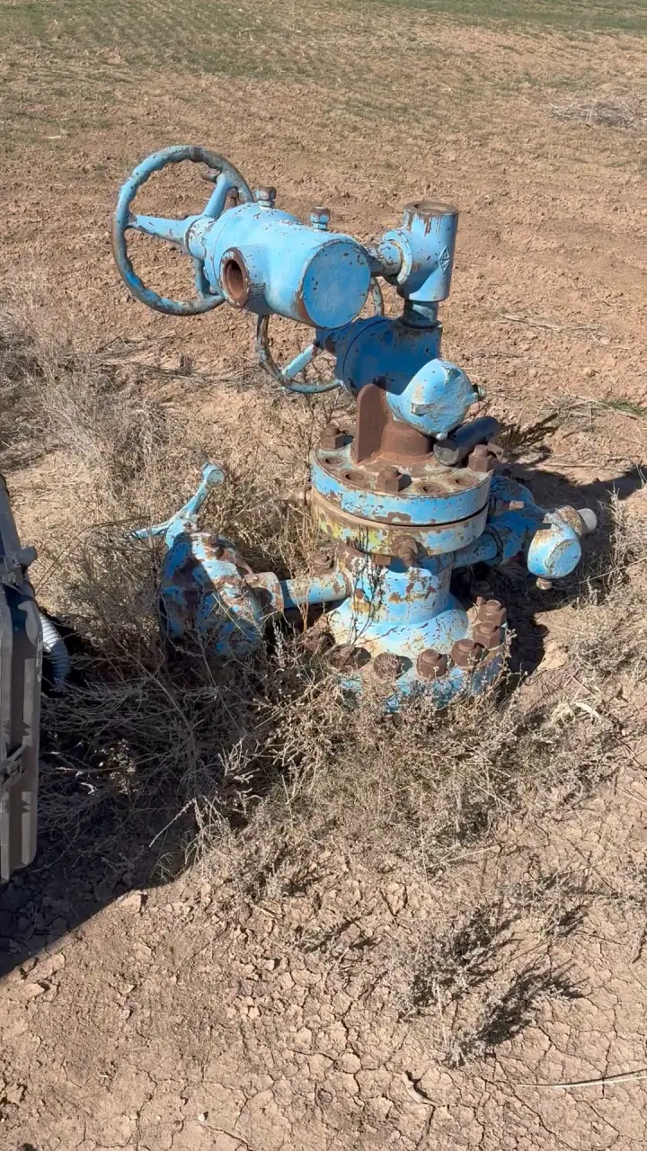
The terrain question is not closed either. Thirty-four physical failures is a small sample, and our notes set the point to look again at about 100, starting from the published measures rather than a new homemade one.
If you own land with an old well on it, our page for landowners sets out what we ask for and what we take on.